Friday, August 19, 2016

The Tennessee River

 we started day three much like day two "in the rain"


We left her secluded bay and made our way towards the river. As we travel upstream we were still able to make almost 8 miles an hour which is faster than expected. Fortunately the Tennessee River basin which covers 45,000 mi.² had not received the intense rains that occurred two weeks st. Louis to Indianapolis.

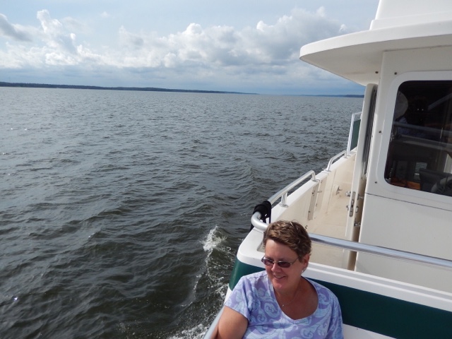
The river at this point is quite wide and relatively deep at 50feet.

Vivian was able to watch Netflix with the cell service we started out with but 20 minutes later the service got weak and the movie Marco Polo  was abruptly over.

The next oddity that we saw is this bridge to nowhere that apparently was this Bridge to nowhere now owned privately and there is a house built on the bridge approach.


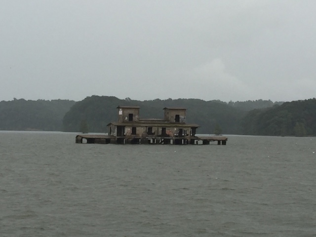
If I'm not mistaken this is the grainery  that was on the river prior to it being flooded to make Kentucky Lake.


We noticed that this boat had a great loop flag on its bow so I called him on the radio and he indicated he had started the great loop in October 2015 from Texas and will complete the loop when he arrives at Mobile Alabama and approximately two weeks. It appeared it was just he and his dog making the trip.

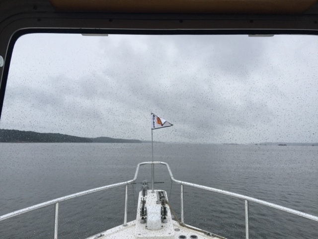
I don't know if you'll be able to see in this picture but the pay curtain of rain is coming our direction.


Down with the old bridge and up with the new one.

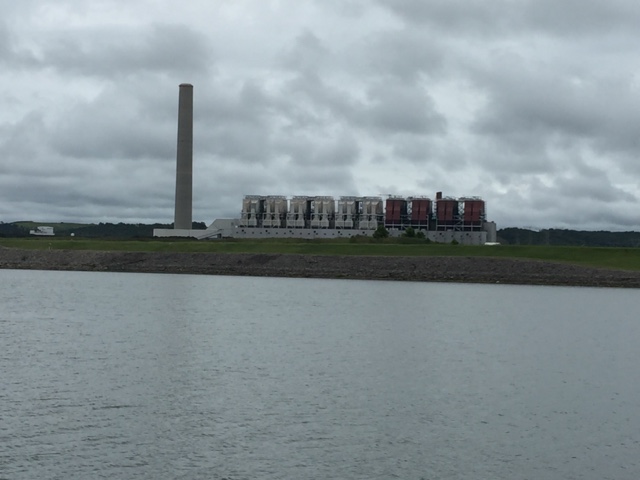
Some kind of large industrial plant making what we don't know.


Her next obstacle was a CSX railroad bridge that is what they call a lift bridge. As you can see the bridge has been lifted to the level of the main highway so the lower deck where the trains run is out of service when boats go by.


The small little shack underneath the large building on top is where the operator stays all day. Looks like a pretty dreary place, but with a great view of the river.


Here you can discern the difference in the two bridge decks.


We're getting to see a lot of the underneath sides of bridges. This one is relatively new most are old and rusty and decayed.


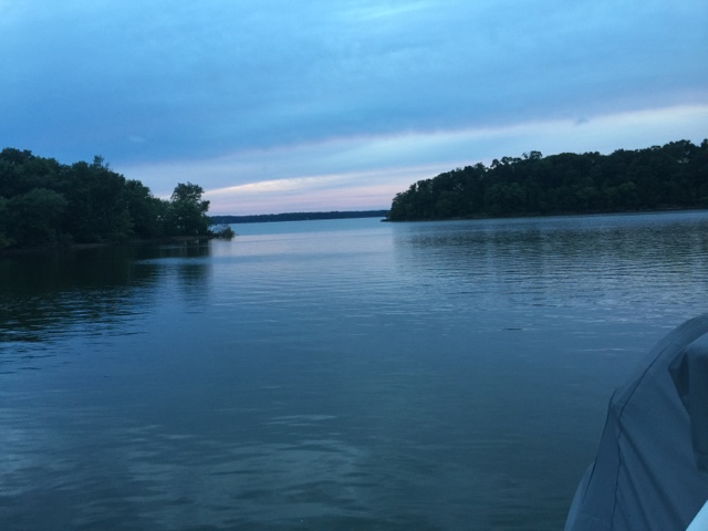
Saw this as evening approached nice to see the bright colors.


Auto pilot is staring straight lines.


This little boats a little far away but it's classic hillbilly style!


You'll have to zoom in on this. Interesting location to launch a complaint.


I just love this sign for the marina at this location it's next to many houses on the river and looks like it could be a fun place

OK we are anchored and ready for the rest of the evening and a early start in the morning.


We close out the three again with a beautiful sunset!


Thursday, August 18, 2016

Ky Lake

Well it's day two and we left early this morning and again at 6 AM. Our "Behind the island spot" was ideal overnight with a few waves and little movement.

 From the Anchorage we moved down downstream passing through Smithland Lock and Dam. 


On the lower end of the dam they were dredging so we got a personal USCE (United States Corp Of Engineer) escort around the dredge bringing us a clear path back to the main channel.


The dredges hard work clearing the channel of silt so they can maintain a 9 foot navigation channel.

From there we continued moving downstream towards Paducah where we  had to make a decision. Our options were to go up to Cumberland River to Barkley Lock and Dam or go downstream (on the Ohio) to Paducah take a left and go back up to Tennessee to Kentucky lake Lock and Dam.

I looked at the AIS (automatic Information System) on the boat and it showed there were no towboats going up the Cumberland but there were quite a few going up the Tennessee. Given that, we opted to go up the Cumberland to the Barkley Look and Dam.

Coming in to Barklley lock and dam.

Here you lock up approximately 50 feet.


Here we are in the lock and they're preparing to close the doors and raise the water.

From the Dam we proceeded upstream and took a right at the "Cut" and moved through to Kentucky lake and left up the Tennessee River.

Lots of wildlife now likely coming from land between the lakes park.


Osprey or Eagle?

Yes she is wild too!

New bridge up and old one coming down.


This is the view from inside Ginger Bay looking out towards the Tennessee River at dusk.


And another day ends with a spectacular sensitive on peaceful waters.


Wednesday, August 17, 2016

The Start of our "Great Loop" Adventure


It's August 17, 2006 and 6 AM this morning we started our "Great Loop" which will include the Tennessee and Cumberland river. We left our home port in Evansville in the rain and continue downstream. There is some current from recent rain (we dodged bullet, to the west of us they got 4-6 inches of rain) enabling us to do an easy 9 mph.


Here I am installing our newly minted AGLCA "Great Loop" Burgee  on the bow of Quiet Company.

From here we left in the marina headed down the stream our to our next stop the JT Meyer Locks and Dam below Mount Vernon Indiana.

On the way to Mount Vernon we passed by the Babcock Wilcox factory that years ago made parts for a nuclear power plants. It boast one of the largest suspended crane systems on the inland waterway system.


Next stop was the JT Meyer lock and dam below Mount Vernon. We locked down approximately 18 feet and proceeded southbound downstream.


Lots of current coming from the Wabash River helps us make good time.


The pictures not real good but 11 miles an hour on the speedometer is why some rain before departure was an advantage for us this leg. 

This house always catches our eye.


 People are fixing up houses all along the way.
Some building new in a great locations with great views!


One of our favorite sites is Cave n Rock State park.


Then it's on to Elizabeth Town Illinois for the best catfish anywhere.

Now we finish off what was a great first day with a great sunset! All is well?